


This is another installment of the “How we made it” series, for paid subscribers, with behind the series stories about the making of the Photowalks episodes.
Today we’re all about Route 66 California.
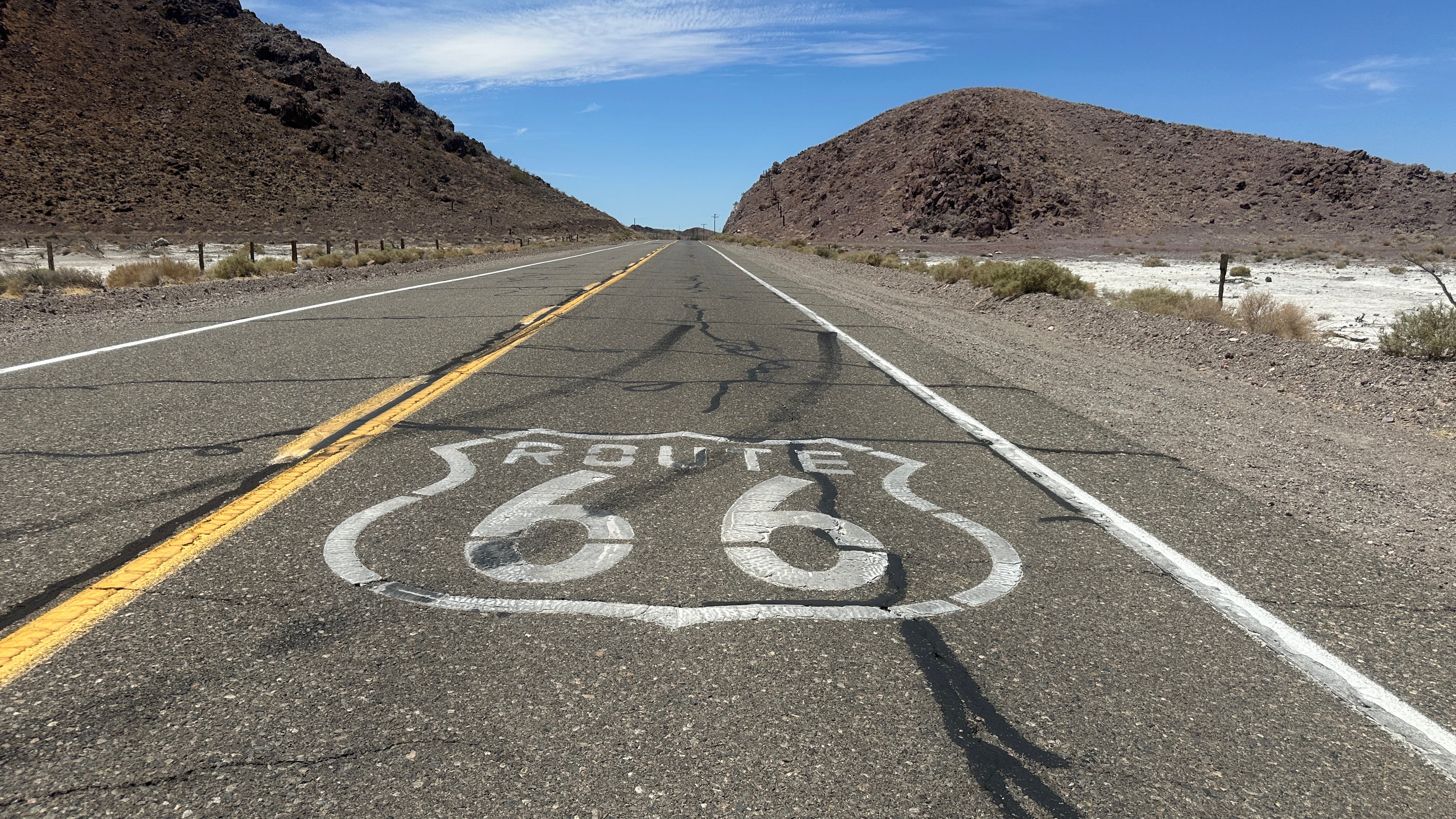
If you’ve been living under a rock, you might have missed that the “Mother Road” is turning 100 this year, in November. America’s first highway, it provided a place for folks to take their Model Ts and explore the country, with roadside diners, motels and kitsch awaiting them.
The road began in Chicago and went all the way to Los Angeles, as made famous by Nat King Cole in the classic song “Route 66,” through St. Louis, Joplin, Missouri, Oklahoma City, Amarillo, Gallup, New Mexico, Flagstaff, Winona and Kingman, AZ, then in California, San Bernardino and Barstow before ending at the Santa Monica Pier.
So close your eyes for a moment. You just heard two key California stops, but if you imagine Route 66, your image is not Californian. I’m guessing it’s the open road, out in the desert, more likely Arizona or New Mexico.
That’s where most of the great photo opps are, and they’re easy to follow. The 315 miles of California is a zig zag, and with the exception of the end shot in Santa Monica, much of it has seen better days. In this episode, I tried to explain just what Route 66 California is all about.
You might know that it starts in Needles, historically one of the warmest spots in the U.S., continues through the desert town of Amboy, passes through Barstow, and Victorville, continues to the Wig Wam motel of San Bernardino, and possibly goes all through L.A., ending at the Santa Monica Pier.
Not exactly.
When we first made the giant trip in spring of 2025, we did Needles, Amboy, Newberry Springs and Victorville, skipped the Inland Empire communities of San Bernardino, Upland and Rancho Cucamonga and figured we’d pick them up later.
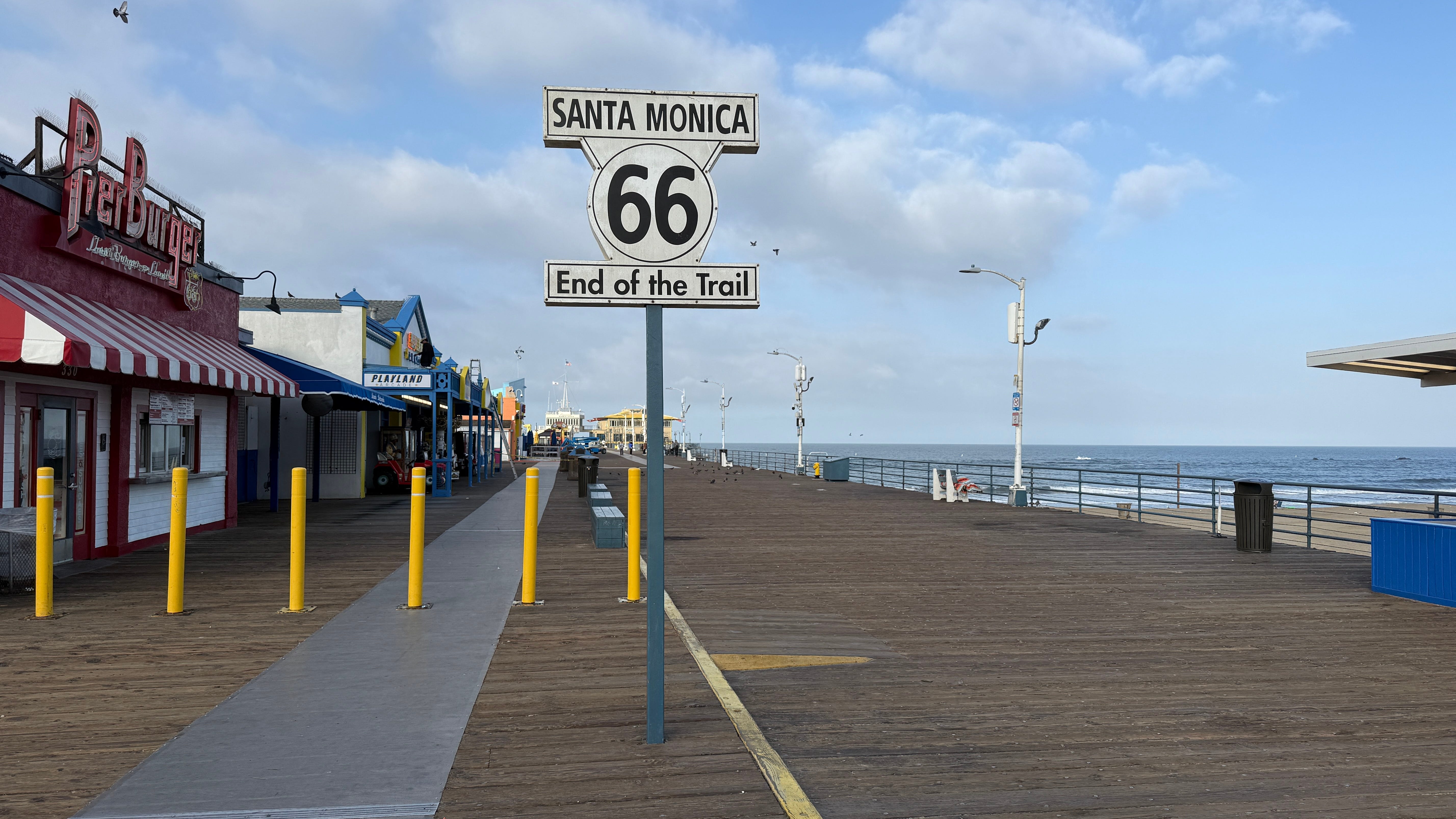
Because the California route only factored in 4 minutes of the original closing video (combined with Arizona), I just ran shots of Needles and Amboy, pulled some online photos of the Wig Wam in San Bernardino, and drove the rental car to the Pier after we got home to nab the traditional shot in front of the “End of the Trail” sign.
Cut to a year later, and now, everyone’s celebrating Route 66, and I had never gotten around to the Inland Empire visit. Plus, I still was having a hard time figuring out just what Route 66 California was. Because in many of the images, you’ll see much of Los Angeles, including the TCL Chinese Theater and Hollywood Bowl thrown in (not true) so I set out to show exactly what you might see if you were drive it from one end to the other, in a full length 22 minute episode.
How’d it go? Paid subscribers can read on.
